Log in
All resources
Create a design
9,296 Free Artworks of Map Collection
bibliothèque nationale de france
british library
maps by nicolas sanson
sanson maps of asia
paper
british museum
copper engraving print
joan blaeu
german renaissance,northern renaissance
geographia universalis (1545) in the british museum
juan de la cruz cano y olmedilla
1750s maps of the caribbean
1760 maps of asia
baroque painting
liber qvartvs contrafactur vnd beschreibung von den vornembsten stten der welt (zzk 0.32)
patrimonium 2 (project)
liber qvartvs contrafactur vnd beschreibung von den vornembsten stten der welt (zzk 0.32)
patrimonium 2 (project)
liber qvartvs contrafactur vnd beschreibung von den vornembsten stten der welt (zzk 0.32)
patrimonium 2 (project)
liber qvartvs contrafactur vnd beschreibung von den vornembsten stten der welt (zzk 0.32)
patrimonium 2 (project)
liber qvartvs contrafactur vnd beschreibung von den vornembsten stten der welt (zzk 0.32)
patrimonium 2 (project)
geographia universalis (1545) in the british museum
german renaissance,northern renaissance
geographia universalis (1545) in the british museum
german renaissance,northern renaissance
geographia universalis (1545) in the british museum
german renaissance,northern renaissance
charles william meredith van de velde
eran laor cartographic collection
eran laor cartographic collection
claes jansz. visscher (ii)
maps of the dutch east india company - comoros
1665
bibliothèque nationale de france
maps by thomas kitchin
maps of mexico city by braun & hogenberg
maps of cusco by braun & hogenberg
maps by willem and johannes blaeu
1630s maps of asia
jacobus cornelis wendel
old maps of fortaleza
old maps of amsterdam
evert maaskamp
maps in the stadsarchief amsterdam
daniël veelwaard (i)
old maps of north holland
maps by isaak tirion
maps in the staats- und universitätsbibliothek hamburg
1840 maps of hamburg
prints by ambrogio brambilla
maps in the british museum
old maps of the bay of gibraltar
carolus allard
drawings in the metropolitan museum of art
jan goeree
1656 in berlin
1656 maps
geographia universalis (1545) in the british museum
german renaissance,northern renaissance
geographia universalis (1545) in the british museum
german renaissance,northern renaissance
geographia universalis (1545) in the british museum
german renaissance,northern renaissance
pierre françois léonard fontaine
neoclassicism
historical collections of the state of new jersey (1852)
1850s maps of new jersey
plenilunii lumina austriaca philippica
maps from gallica
maps from university of amsterdam special collections
atlas der neederlanden
charts and maps of the royal museums greenwich
1693 maps
carte de l'amérique septentrionale by guillaume delisle (1700)
1700 maps of north america
maps in the stadsarchief amsterdam
romeyn de hooghe
maps in the stadsarchief amsterdam
daniël veelwaard (i)
maps of the west-indische compagnie
1750 maps
sanson map of the german empire (17th century)
sanson maps of the circles of germany
maps of london by braun & hogenberg
maps in the british museum
sanson map of the german empire (17th century)
sanson maps of the circles of germany
pieter verbiest (ii)
maps from gallica
la virginea pars
paper
maps of london by braun & hogenberg
maps in the british museum
maps by alexis-hubert jaillot
old maps of duchy of cleves
la virginea pars
secotan
sanson map of the german empire (17th century)
sanson maps of the circles of germany
sanson map of the german empire (17th century)
sanson maps of the circles of germany
eran laor cartographic collection
claes jansz. visscher (ii)
eran laor cartographic collection
claes jansz. visscher (ii)
british library - off the map alice collection - wonderland
british library - off the map alice collection
british library - off the map alice collection - wonderland
british library - off the map alice collection
british library - off the map alice collection - wonderland
british library - off the map alice collection
british library - off the map alice collection - wonderland
british library - off the map alice collection
media contributed by university of illinois urbana-champaign university library
1623 maps of africa
maps of paris from paris musées
baroque
the sick child by gabriël metsu
baroque
maps by nicolas sanson
sanson maps of asia
maps by nicolas sanson
sanson maps of asia
maps by nicolas sanson
sanson maps of asia
maps by nicolas sanson
sanson maps of asia
maps by nicolas sanson
sanson maps of asia
maps by nicolas sanson
sanson maps of asia
maps of alexandria by braun & hogenberg
maps in the british museum
maps by nicolas sanson
sanson maps of asia
16th-century maps of amsterdam
amsterdam in the 1590s
maps by nicolas sanson
sanson maps of asia
maps by nicolas sanson
sanson maps of asia
maps by nicolas sanson
sanson maps of asia
maps by nicolas sanson
sanson maps of asia
sanson maps of north america
1719 maps of north america
maps by nicolas sanson
sanson maps of asia
maps by nicolas sanson
sanson maps of asia
atlas minor gerardi mercatoris (1621, maps)
maps of provence by pierre-jean de bompar
paris vers 1530 (plan de georges braun, "aux trois personnages")
maps of paris from bibliothèque nationale de france
15th-century maps of rome
alessandro strozzi
plan de la ville et faubourg de paris, divisé en ses 48 sections by mondhare & jean
maps of paris from paris musées
prints by johan frederik clemens in the statens museum for kunst
copper
miscellaneous items in high demand, ppoc, library of congress
maps by claude joseph sauthier
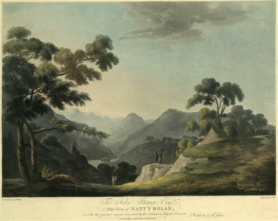
welsh landscape collection
1790s
maps from university of amsterdam special collections
atlas der neederlanden
maps in the amsterdam museum
covens en mortier
atlas maior, vol 2 (sweden, russia, poland, eastern europe, and greece) - joan blaeu, 1667 - bl 114.h(star).2
1667 maps of russia
atlas maior, vol 4 (netherlands) - joan blaeu, 1667 - bl 114.h(star).4
1667 maps
atlas maior, vol 2 (sweden, russia, poland, eastern europe, and greece) - joan blaeu, 1667 - bl 114.h(star).2
1667 maps of russia
atlas maior, vol 1 (northern europe, norway, and denmark) - joan blaeu, 1667 - bl 114.h(star).1
1667 maps
atlas maior, vol 2 (sweden, russia, poland, eastern europe, and greece) - joan blaeu, 1667 - bl 114.h(star).2
17th-century maps of the aegean sea
atlas maior, vol 2 (sweden, russia, poland, eastern europe, and greece) - joan blaeu, 1667 - bl 114.h(star).2
maps of slavonia by gerardus mercator
atlas maior, vol 2 (sweden, russia, poland, eastern europe, and greece) - joan blaeu, 1667 - bl 114.h(star).2
copper engraving print
atlas maior, vol 3 (germany) - joan blaeu, 1667 - bl 114.h(star).3
17th-century maps of silesia
atlas maior, vol 1 (northern europe, norway, and denmark) - joan blaeu, 1667 - bl 114.h(star).1
1667 maps
art of japan in the museum of fine arts, boston
utagawa school,kasei culture,ukiyo-e
prints in the national gallery of art (washington, d.c.)
francesco zucchi
maps of country estates in the netherlands
het zegepralent kennemerlant
adam gottlieb schneider
1812 maps of germany
shan shui paintings in the national palace museum
kao k'o-kung
maps from gallica
guides joanne
old maps of the kingdom of naples
giovanni antonio rizzi zannoni
old maps of the strait of gibraltar
hendrik de leth
dutch 17th-century prints in the rijksmuseum amsterdam
maps by daniel stoopendaal
maps of hunsrück
jean hardy
4401 - 4500 of 9,296
Next page
/ 93